|
---|
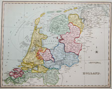
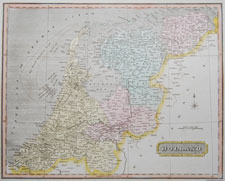
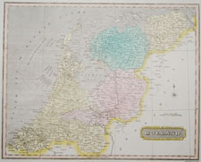
Below is a selection of antique maps of Belgium and The Netherlands (Holland).
BELGIUM AND THE NETHERLANDS (HOLLAND) |
|||
---|---|---|---|
Thumbnail (Click to enlarge) |
Title / Publisher Date Size in inches |
||
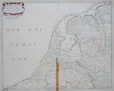
Belg/NL-4 |
"Provinces Unies Nicolas Sanson, cartographer to the King of France 1648 (1664-66) approx. 17 1/2 x 23 1/2 inches |
||
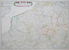
Belg/NL-5 |
"Picardie et les Pay Bas Catholiques &c" Nicolas Sanson, cartographer to the King of France 1648 (1664-66) approx. 17 1/2 x 23 1/2 inches |
||
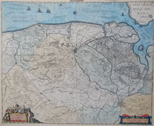
Belg/NL-33 |
"Flandriae Teutonicae pars Orientalior" Willem and Janszoon Blaeu, Amsterdam from Atlas Novus circa 1635-1680 |
||
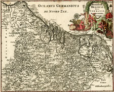
Belg/NL-3 |
"Hodiernae Belgicae sive Germaniae Inferioris" by Philipp Cluver for "Introductionis in universam geographiam" 1697 |
||
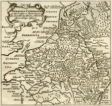
Belg/NL-1 |
by Philipp Cluver for "Introductionis in universam geographiam" ca. 1701 5.25 x 5.25 inches |
||
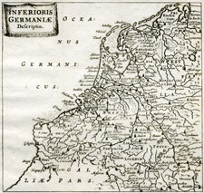
Belg/NL-2 |
by Philipp Cluver for "Introductionis in universam geographiam" ca. 1701 5.25 x 5.25 inches |
||
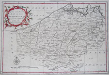
Belg/NL-6 |
"A New and Accurate Map of the Netherlands engraved by J. Gibson 1764 approx. 14.25 x 8.75 inches |
||
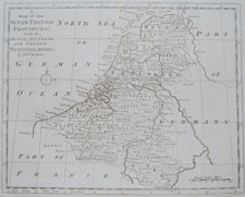
Belg/NL-7 |
"A Map of the Seven United Provinces: with the Dutch, Austrian, and French Netherlands" engraved by Thomas Bowen circa 1790 approx. 15.25 x 9.5 inches |
||
Belg/NL-8 |
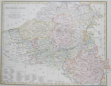
engraved by Froggett 1809 approx. 13.25 x 10.5 inches |
||
Belg/NL-9 |
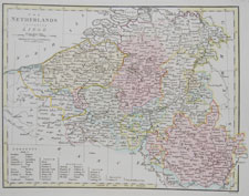
engraved by Froggett 1809 approx. 13.25 x 10.5 inches |
||
Belg/NL-10 |
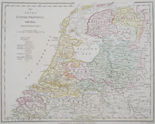
The Seven United Provinces with their Dependencies engraved by B. Baker 1799 (1809) approx. 13.25 x 10.5 inches |
||
Belg/NL-11 |
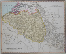
Ellis's General Atlas of the World 1811 approx. 13.25 x 10.5 inches |
||
Belg/NL-12 |
Ellis's General Atlas of the World 1811 approx. 13.25 x 10.5 inches |
||
Belg/NL-13 |
Oddy's New General Atlas of the World 1811 approx. 15.25 x 10 inches |
||
Belg/NL-14 |
Oddy's New General Atlas of the World 1811 approx. 15.25 x 10 inches |
||